Uncategorized
Small-scale family farms necessary for sustainable future
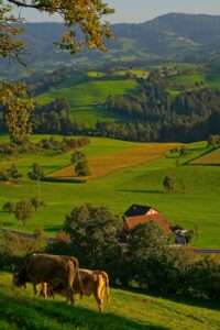
By Toria Bunney The conservation of small-scale farming and the transition away from extensive industrial farming methods is key for a sustainable future. This twofold
By Toria Bunney The conservation of small-scale farming and the transition away from extensive industrial farming methods is key for a sustainable future. This twofold

By Sara Di Giorgio What’s going on here? A project in Spain is restoring ancient water channels which have been around as far back as